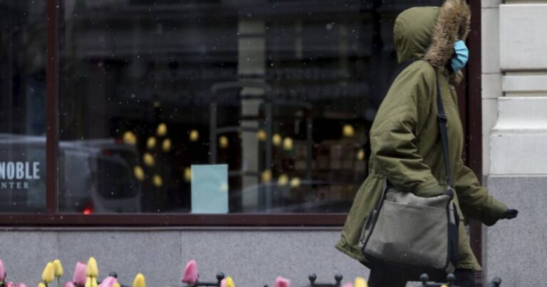
The greater Chicago area seems to be on the backside of the strong, cold front that blew in overnight that left rooftops and cars parked outside with a thin glaze of snow. Temperatures across the area are warming up only slightly for the rest of the week with possible showers and thunderstorms.
Casey Sullivan, meteorologist with the National Weather Service Chicago, said Monday’s high temperatures could get to the upper 30s, even touching 40, from the early morning’s low of low- to mid-30s. Passing snow showers are expected still Monday but should halt by late morning or early afternoon.
Much of the forecast area recorded under half an inch of snow accumulation, with O’Hare International Airport getting a total of two-tenths from the overnight snow, Sullivan said.
Lows Monday night into Tuesday morning will be in the lower 30s, Sullivan said, but temperatures in the far western Chicago suburbs could sink even further to the upper 20s.
Tuesday’s forecast is dry with highs back in the 50s, followed by a warmer front on Wednesday, raising the temperatures in much of the metropolitan area to the 60s and well into the 70s south of Interstate 80, Sullivan said. Wednesday also has a slight chance of showers and thunderstorms, mainly in the afternoon.
The “best chance for rain and thunderstorms” is Thursday, Sullivan said, at 80% in the late morning through the afternoon with temperatures in the lower 70s for most of the forecast area.
Friday is cooling back down slightly with highs around 60 and a 30% chance of showers in the afternoon.
There is, however, no need for Chicagoans to worry and further about any more freezing precipitation this week.
“Temperatures will be too warm for any winter weather concerns,” Sullivan said.


